Real-time bus tracker · Public transit app · Android
Leidaro is the real-time bus tracker that shows every bus, tram, trolley and metro in your city moving on a live map. Tap any stop to see accurate bus arrival times. Tap a vehicle to follow its whole route. It works across 30 European cities — and offline, once you download a city.
Free to install · No account · No ads. A small upgrade unlocks the extras.
01 · Cities
Leidaro pulls real-time transit data straight from the same public GTFS feeds transit agencies publish themselves. If a city publishes open transit data, it can be added — more cities are on the way.
Don't see your city? Arrival times come from public GTFS / GTFS-RT feeds — city suggestions are always welcome.
02 · What it does
No accounts, no social feed, no gamification. Just the live map, the stops, and the real arrival times.
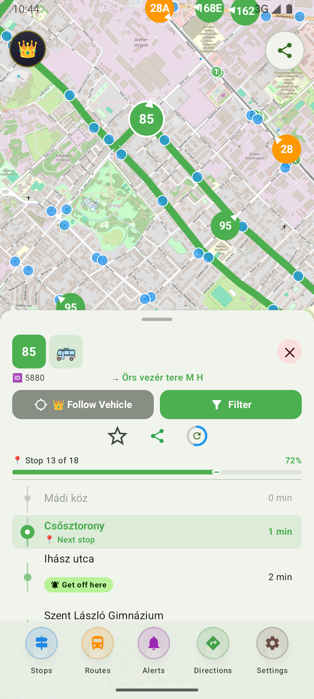
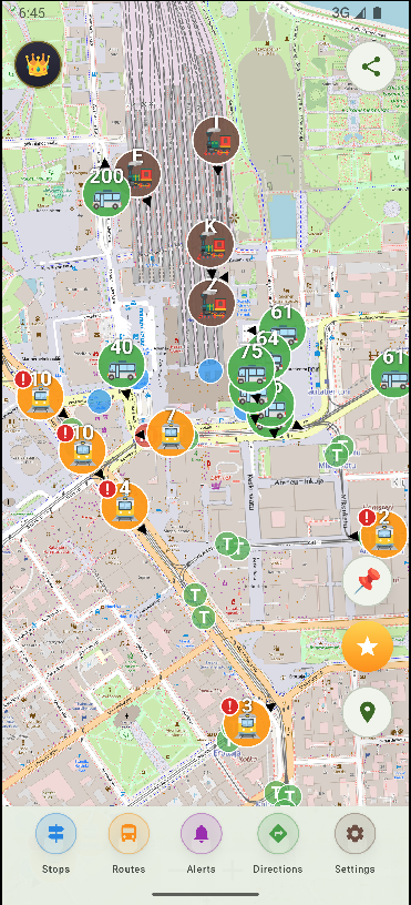
Every bus, tram, trolley and metro is drawn where it actually is, and moves as it moves. Positions refresh about every three seconds, and each route line is drawn in the vehicle's real colour, so you can read the live transit map almost without labels.
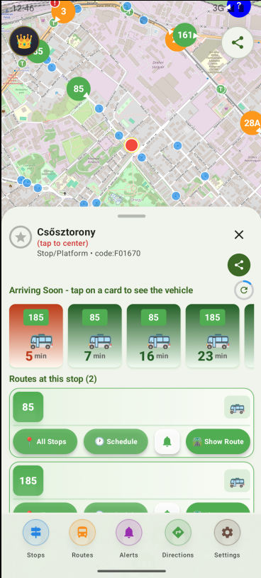
Printed schedules lie on a rainy Tuesday. Leidaro uses the real-time feeds, so the countdown is the actual countdown. Bus arrival times are colour-coded the way you'd expect: red under 2 minutes, orange 3–5, green beyond.
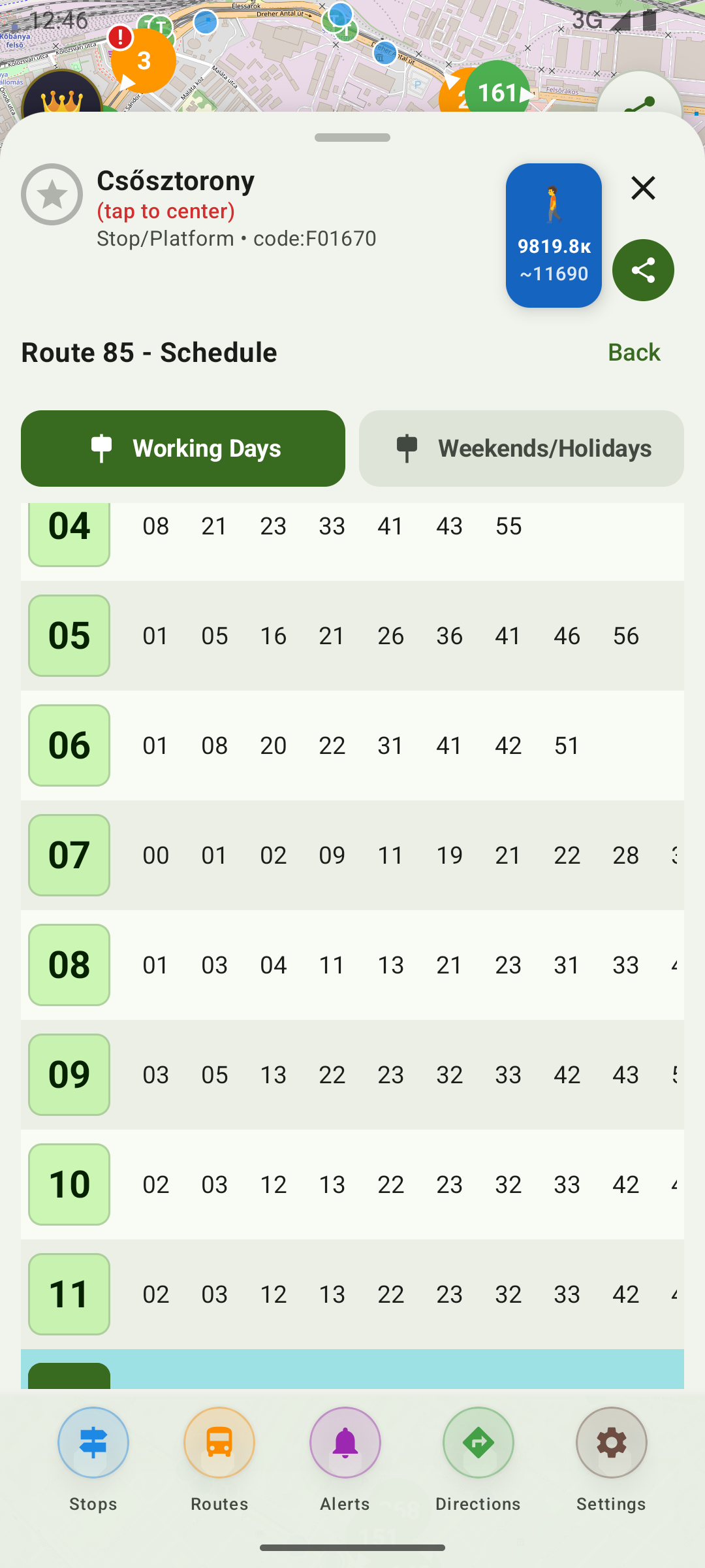
All routes, stops and timetables for a city fit on your phone, downloaded once. That means the offline transit map still works with no signal at all — underground, abroad, or on a train through the middle of nowhere.
Pick a line, a stop and a direction — Leidaro tells you when to head out, and only for vehicles going your way. It runs in the background with the screen off, so you can put the phone away and still catch the bus.
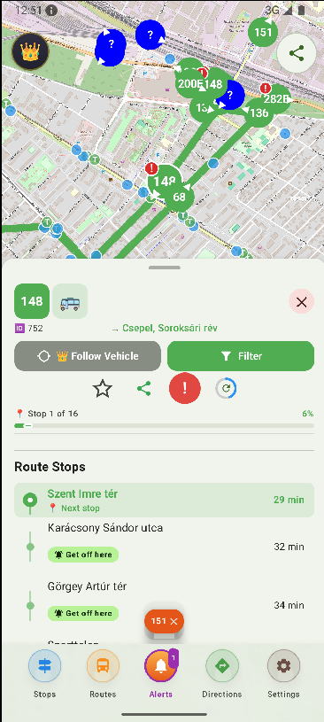
Tap any vehicle to follow its journey and see each stop it still has to make. Send a friend a link to a stop or a vehicle so you can quietly track the same bus while you pretend to be outside.
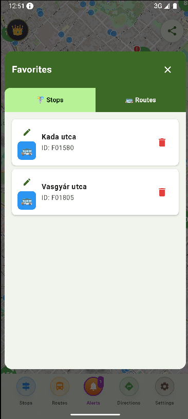
The stop you use every morning shouldn't need a search every morning. Save it once, and it's one tap away — with live arrivals already loaded.
03 · How it works
It's about a 10 MB download from the Play Store. No sign-up screen on first launch — that's not what this app is for.
Or let it find you. The map loads in a couple of seconds, with vehicles moving on it.
A stop for arrivals. A vehicle to follow it. A line to see the whole route. That's the whole manual.
04 · Questions
05 · Europe's public transport
Europe is home to some of the world's most fascinating public transport networks — from Lisbon's vintage trams and London's double-decker red buses, to Helsinki's punctual metro and Budapest's iconic yellow trams. Each city has its own rhythm, its own operator, its own quirks. But they all share one thing: open data.
Leidaro takes advantage of this by pulling real-time vehicle positions from the public GTFS feeds that transit agencies publish around Europe. If a city publishes open data, it can be added — which is why Leidaro keeps growing city by city, network by network.
One download, one app, and every city's buses, trams, trolleys and metros on a single live map.
— built for Europe, stop by stop
Download Leidaro, find your stop, and see the next arrival in seconds.
Get it on Google Play